

Doc’s Consulting Ltd (Vancouver BC) specializes in Investor Relations Services as well as raising money for Private or Public Companies and can play an integral part in Mergers and Acquisition. Craig Doctor, owner operator has been working in Investor Relations for the past 30 years and has helped raised over 15 million for his clients through various strategic IR campaigns.

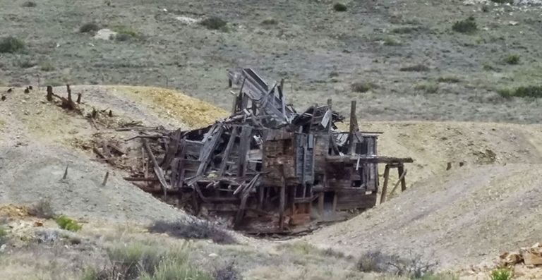
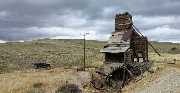
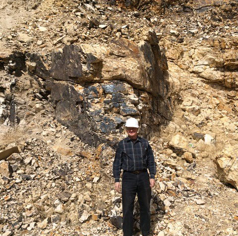
The Silver Cliff property lies within the historic Hardscrabble Silver District Colorado, and consists of 96 lode claims on 944 hectares where high grade silver, gold and base metal production came from numerous mines during the period 1878 to 1894. It is located 44 miles WSW of Pueblo Colorado and has year-around access by paved road. The property underwent substantial exploration between 1967 and 1984 for the purpose of defining mineral inventories. The major explorers were Freeport, Hecla, Homestake, Moly Corp, Coca Mines and Tenneco Minerals.
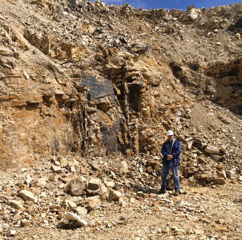
Silver Cliff is thought to overlie a large caldera and porphyry system which increases the prospect’s potential to host a number of deposits from both precious metals to base metals. This has been demonstrated in the mineralogy and grade historically extracted from numerous underground mining operations dating back to the late 1800s and early 1900s.
The Company’s flagship asset is the 100% owned Silver Cliff, which hosts a high-grade silver resource with several mineralized deposits and significant exploration upside
The Property consists of 96 lode claims where high grade silver, gold and base metal production came from numerous mines during the period 1878 to 1894.
It is located 44 miles WSW of Pueblo, Colorado, and has year-around access by paved road. The property underwent substantial exploration between 1967 and 1984. The major explorers were Freeport, Hecla, Homestake, Moly Corp, Coca Mines and Tenneco Minerals.
The Silver Cliff Property is interpreted to encompass a large caldera and porphyry system which offers potential to host a number of deposits from both precious metals to base metals. This has been demonstrated in the mineralogy and grade historically extracted from numerous underground mining operations dating back to the late 1800s and early 1900s.
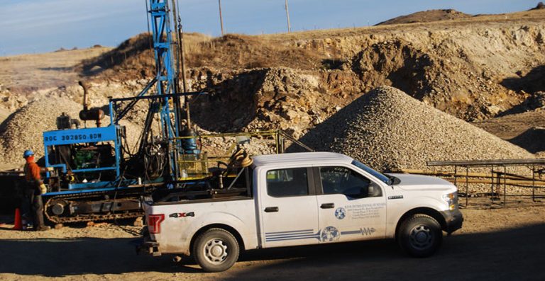
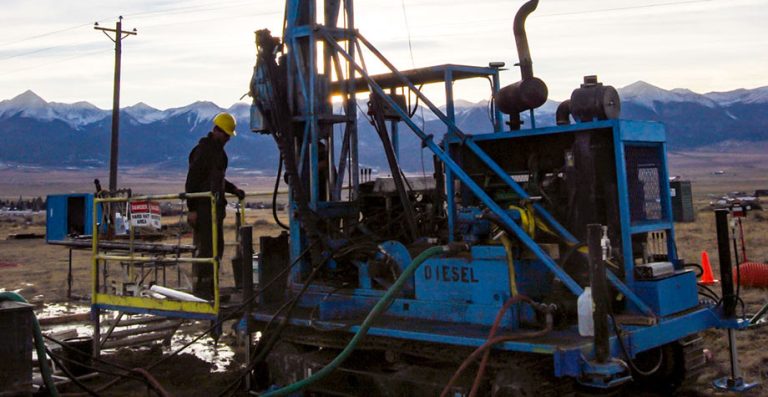
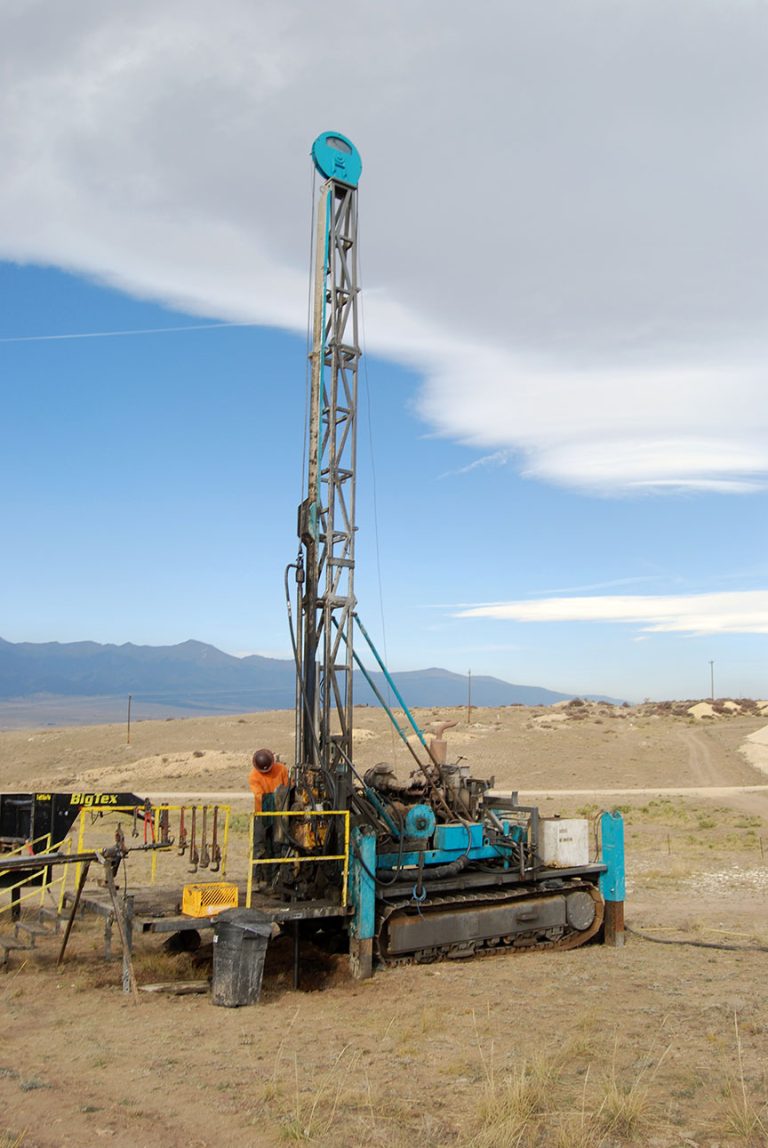
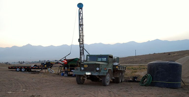
Drilling in the 1980s by Tenneco resulted in a historical pre-feasibility study which formed the company’s decision to put the property into production.
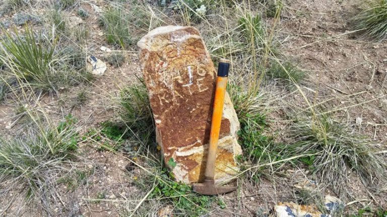
Silver Cliff geological structure appears quite simple. Dips are to the east-southeast at 2° to 5°. Faulting is not obvious on the surface and a contour map of the surface of the lower obsidian suggest that no faults with more than 50 feet of displacement occur within the area of the Kate mineralization. Examination of PQ wireline core drilled in 1989 for a metallurgical sample, indicate; however, that faults with minor displacement are numerous.
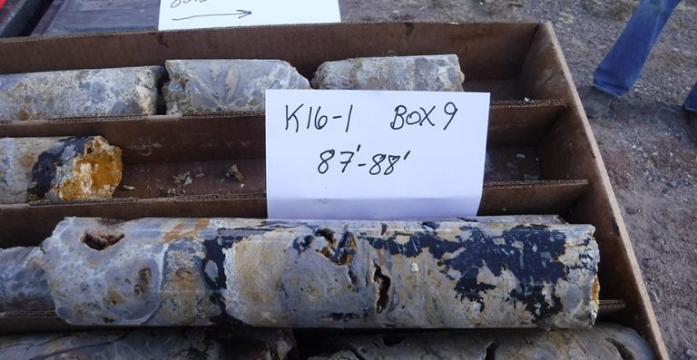
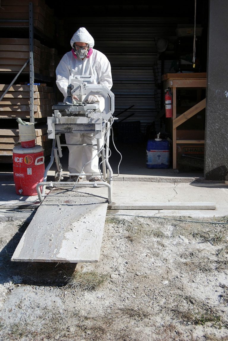
In the fall of 2016, nine holes with a total of 1,502 ft. (457.8 m) were completed reporting values from drill holes K16-01, K16-03, K16-04, K16-05, K16-06, and K16-08 from which core was assayed at ALS Canada Ltd., at their laboratories in Reno, Nevada, and Vancouver, BC. Highlights were from drill hole K16-01 which assayed 1,778.5 g/t (57.2 oz/t) silver over a 20-ft. (6.1m) interval within a 50 ft. (15.2m) mineralized intersection averaging 837.4 g/t (26.9 oz/t).
NI 43 101 Compliant Resource April 2023